Classroom Geography Wall Chart: An Essential Tool for Educational Success!
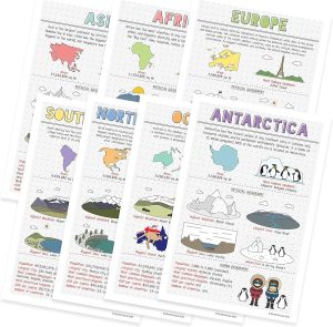
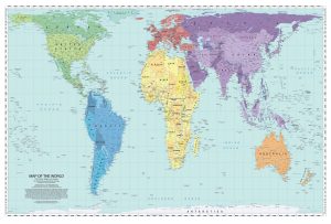
This Classroom Geography Educational Wall Chart by Daydream Education is a great way to introduce children to the world of geography. It provides an easy-to-read, colorful map of the world that will bring geography to life for students of all ages. The chart is full of interesting facts and figures about each country, making learning fun and engaging.
The chart features detailed maps of each continent with labeled countries, cities, rivers, mountains and more. It also includes an overview of the climate, population and economy in each region. The chart also has sections on human geography and physical geography. Additionally, it has a section devoted to different types of maps, such as contour maps, political maps and economic maps. With this wall chart, students can gain a better understanding of the world around them and their place in it.


